SMOC Waterloo HQ
April 22nd 2018 12:00pm
Organizers: Igor Guskov (Course Planner), Clinton Adams (Event Director)
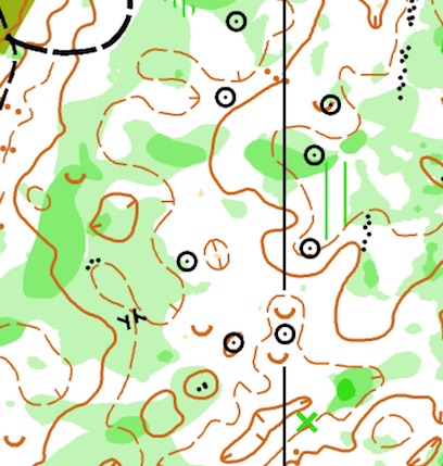
Map: Waterloo HQ
Pre-registration CLOSED.
What is orienteering? Using a detailed topographical map and compass, find checkpoints flags.
See more here
Choose your course level (beginner, novice, intermediate, advanced, elite), and explore the area around Waterloo Recreation Area's headquarters. This location has everything - open forest, meadows, steep hills, beautiful marshes on the BRAND NEW MAP!
Courses descriptions
Note that the distances may sound short, but your standard road race does not have the hills, trees, logs, and marshes that end up in your way on a typical orienteering course. Novice and Beginner courses make heavier uses of trails, which can keep the speed up, but Intermediate and beyond spend quality time on uneven footing that keeps a "6.5 km" course to about an hour for the best in our club. Note the published distances (when finalized) are "as the crow flies". It's not unusual for skilled navigators to be about 30% longer, and for more typical folks with a bobble or two to be more like 1 mile per 1 km (60% longer than published) for actual distance.
Novice (White): 1.5km 6 checkpoints, almost entirely on trail, takes 30-60 minutes to walk
Beginner (Yellow): 2.7km 7 checkpoints, points just off trail, takes 45-75 minutes to walk
Intermediate (Orange): 4.2km 8 checkpoints, points off trail on larger features, takes 60-120 minutes to run, 120 minutes to walk
Advanced Short (Green): 5km 12 checkpoints, technically difficult checkpoints in detailed, intricate terrain. Takes 60-150 minutes to run, 2-3 hours to walk
Advanced Long (Red): 7.5km 18 checkpoints, same technical difficulty as advanced but longer. Takes 90-150 minutes to run, 3 hrs to walk.